Last week, the American Community Survey (ACS) released its first dataset of five-year estimates for population and housing trends nationwide. The ACS is a division of the US Census Bureau that conducts a nationwide survey of approximately three million homes annually on characteristics including:
- Age, sex, race
- Family and relationships
- Income and benefits such as health insurance
- Housing and cost of living
- Work status and commute logistics
- Education
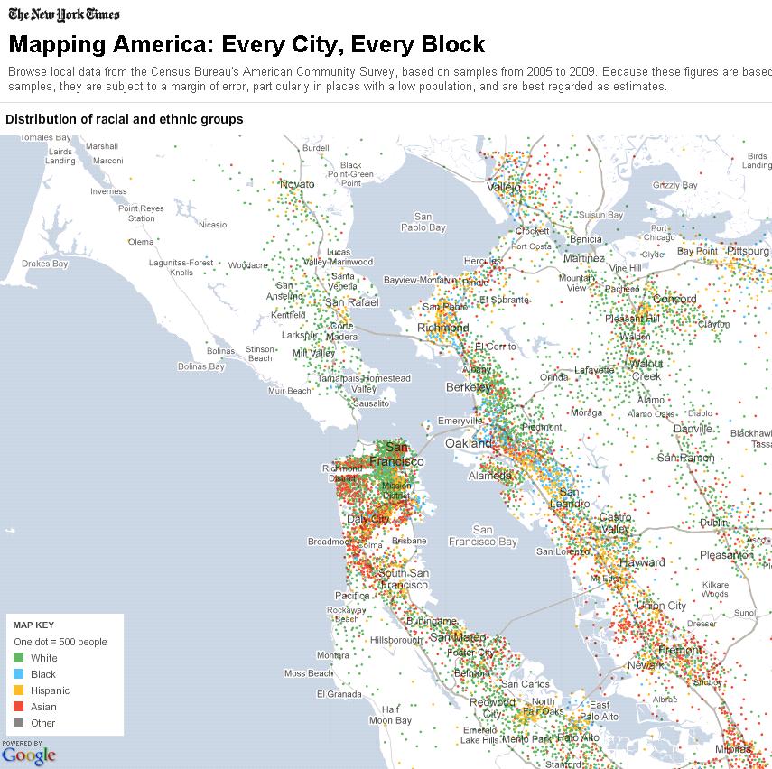
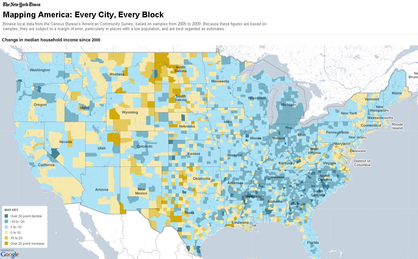
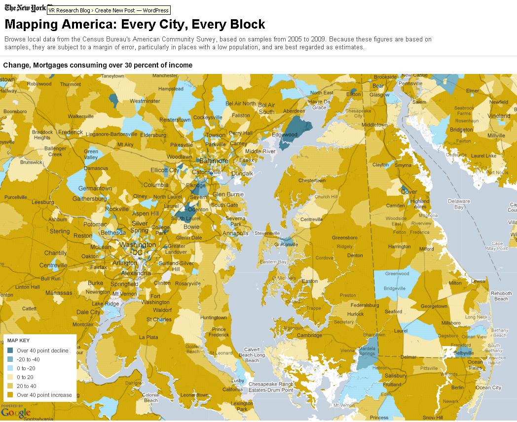
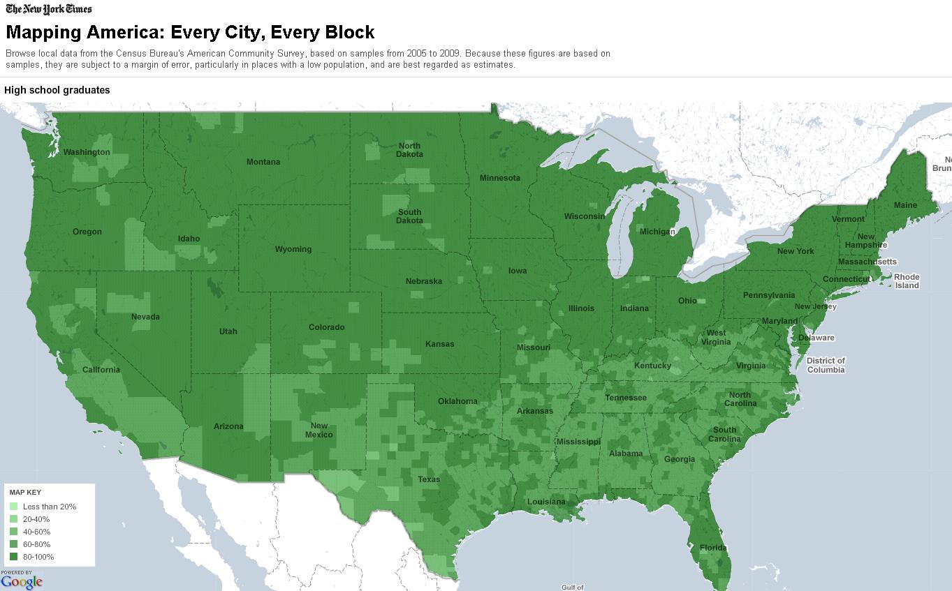
The ACS produces one-year, three-year, and now five-year estimates using this population data to help communities observe demographic trends over time and plan local services. The New York Times compiled the five-year estimate based on data collected between January 1, 2005, through December 31, 2009, into a set of interactive maps called "Every City, Every Block." The maps are searchable by address, zip code, census tract and counties, and depict:
- Race and ethnicity (racial/ethnic distribution, % white population, % black population, % Hispanic population, % Asian population, % foreign born population)
- Income (median household income, change in median household income, % households earning under $30,000, % households earning over $200,000)
- Housing and families (median home value, change in median home value, median monthly rent, change in median monthly rent, % mortgages consuming 30% of income, % mortgages over 30% of income, % same-sex couples)
- Education (% high school graduates, % bachelor's degree or higher, % master's degree or higher, % elementary students in private schools)
This information can be searched in an online database on the American Community Survey page of the American FactFinder website, as well. Data profiles, geographic comparison tables, and references maps prepared since 2000 are also available for download from an FTP server or as comma delimited summary files.


